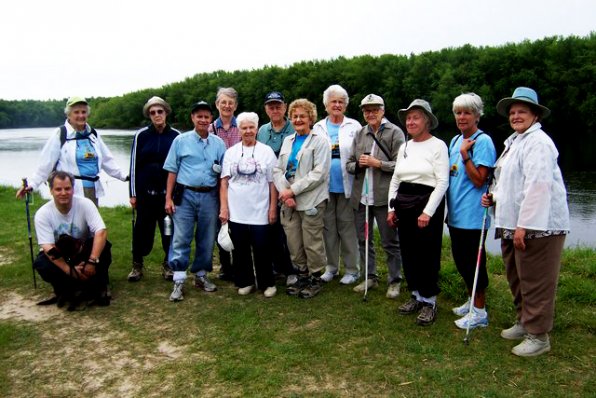
At the invitation of Mary Kibling, the Concord Monitor's “On the Move” columnist, I took a group of the Concord Area Senior Wellness Team from the Hospital Volunteer Service on a hike. On June 12, we hiked through the woods at the Society for the Protection of New Hampshire Forests. One part of the trail followed the banks of the Merrimack River. As we walked along the river, we imagined the role of the river in the history of New England.
The Merrimack River begins at the confluence of the Pemigewasset and Winnipesaukee Rivers in Franklin and enters the Atlantic Ocean at Newburyport, Mass. The river was a central route of travel during colonial days. At first, houses were built facing the river, but as roads became more numerous and passable, houses were built facing the roads.
During the era of timber harvesting, giant logs were floated down the river to the coastal ports before being shipped overseas. At the height of the textile industry, the river provided power for the mills that dominated the New England economy. After originally being spelled different ways, the current spelling of the Merrimack River was established in 1914.
Standing on the banks of the Merrimack, we tried to picture the river at eight feet above flood stage during the 2006 flood and ten feet higher than that during the flood of 1936. During one section of the hike, we approached an area known as the floodplain, which includes an oxbow marsh and a wooded swamp where there was evidence of beaver activity.
One of the highlights of the hike was coming to a place where the air was filled with bank swallows flying about in many different directions. Their erratic, zigzag flight with many twists and turns is characterized with rapid wing beats.They eat insects while flying. This was the location where they had built their nests in the high sandy banks of the river. Their excavated nest burrows can be four to five feet into the riverbank. The smallest of our native swallows, the bank swallows winter in South America and are among the first birds to leave in the fall for their migratory journey south.
When our early settlers, traveling on the river, came to this area they were amazed at the height of the sandy banks and they called this region the heights, which is what this part of Concord is still called today – the Heights. Several people in Kibling's group said they live in the Heights, and after walking along the high banks of the Merrimack River, they now know how this locale got its name.


